The Ottawa, IL Micropolitan Statistical Area, as defined by the United States Census Bureau, is an area consisting of three counties in north central Illinois, anchored by the city of Ottawa. Peru (until 2020) and Streator (until 2013) are former primary cities.
As of the 2010 census, the μSA had a population of 154,908. An estimate by the Census Bureau, as of July 1, 2012, placed the population at 153,182, a decrease of 1.11%, but still making it the fourth-largest micropolitan statistical area in the United States.
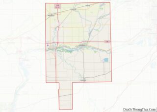
Counties
- Bureau
- LaSalle
- Putnam
Communities
Places with more than 10,000 inhabitants
- Ottawa (Principal city)
- Streator (partial)
Places with 5,000 to 10,000 inhabitants
- LaSalle
- Mendota
- Princeton
- Peru
- Spring Valley
Places with 1,000 to 5,000 inhabitants
Places with 500 to 1,000 inhabitants
Places with less than 500 inhabitants
Unincorporated places
Townships
Bureau County
LaSalle County
Putnam County
- Granville Township
- Hennepin Township
- Magnolia Township
- Senachwine Township
Demographics
As of the census of 2000, there were 153,098 people, 60,014 households, and 41,459 families residing within the Micropolitan Area. The racial makeup of the Area was 95.50% White, 1.23% African American, 0.18% Native American, 0.52% Asian, 0.02% Pacific Islander, 1.57% from other races, and 0.99% from two or more races. Hispanic or Latino of any race were 5.01% of the population.
The median income for a household in the Ottawa Micropolitan area was $42,011, and the median income for a family was $49,576. Males had a median income of $38,628 versus $21,706 for females. The per capita income for the area was $19,506.
See also
- Illinois statistical areas
Notes
References